Oxnard: events & what to see — then walk it in 3D
Oxnard is Ventura County's biggest city: a farm town that grew up around sugar beets and is now famous for strawberries. It has a working harbor at Port Hueneme next door, and miles of wide, uncrowded beaches from Mandalay to Silver Strand.
🎮 Walk Oxnard in 3D — free, in your browser → ♿ Or explore it in words (screen-reader friendly)Upcoming in Oxnard
In real lifeOxnard in 3D
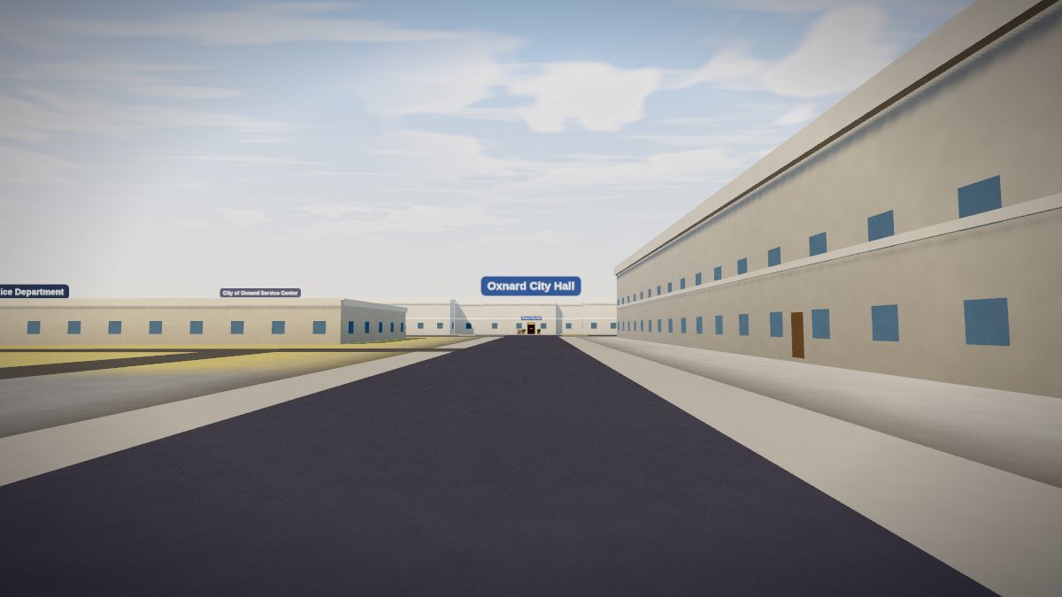
The 3D Oxnard runs from the downtown grid around Plaza Park out to Channel Islands Harbor and the beach neighborhoods. The streets and footprints come from real map data, and every eatery, shop and café with a name on the map has an interior you can walk into.
Where to eat & drink — 380 in the 3D Oxnard
Where to stay — 27 in the 3D Oxnard
Shops — 712 in the 3D Oxnard
Museums, landmarks & culture — 111 in the 3D Oxnard
Parks & outdoors — 86 in the 3D Oxnard
Jump straight there — each link drops you outside the door:
Inside, restaurants, cafés, bars, hotels and shops look like what they are. You can order at the counter, sit down, jump, and chat with locals who talk about Oxnard itself. Use the 📍 Share button in the game to copy a link to wherever you're standing.
Getting there in real life
Amtrak and Metrolink stop at the Oxnard Transportation Center downtown. Channel Islands Harbor is about 15 minutes' drive southwest, and the beach parks at Mandalay and Oxnard State Beach are north of it.
More places like this in the game
Get updates by email
New towns, new rides, new things to find — sent by the site owner, rarely, with a working unsubscribe link in every email. Nothing else is done with your address.